The Natural Monument of the Farfa Gorges in Mompeo: from the river to the millstones
The Farfa River is mentioned as early as Roman times: Virgil in the Aeneid calls it Fabaris, and Ovid in the Metamorphoses refers to it as Farfarus. The river lends its name to the homonymous Abbey founded in the 6th century beneath Mount Acuziano, in the municipality of Fara in Sabina, facing Rome.
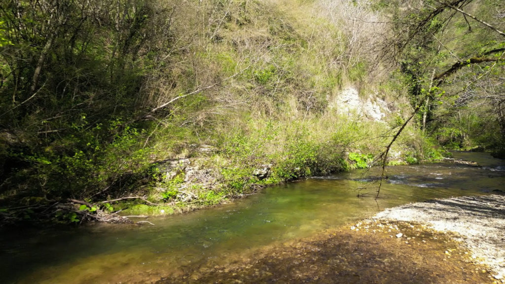
It originates near Frasso Sabino, in the locality of Capore, flowing through much of the territory and, under the town of Mompeo, forming the Farfa Gorges, which were designated a Natural Monument in 2005. They represent not only a particularly pristine natural heritage, but also an anthropological site of great importance for the past and present history of the region.
After passing through the municipalities of Salisano, Mompeo, Castelnuovo di Farfa, Bocchignano, and Fara in Sabina, the Farfa joins the Tiber downstream of the municipality of Nazzano Romano, already within the Tiber basin. There, it contributes to shaping the ecosystem of the Tevere-Farfa Nature Reserve, the first protected natural area established by the Lazio Region in 1979.
At the point where it meets Mompeo, following the Ferriere trail, the Farfa turns toward Castelnuovo di Farfa, reaching the locality of Granica. Here, until the 1960s, the annual fair was held—an important gathering for the trade of livestock and agricultural goods among land-owning farmers, breeders, sharecroppers, wayfarers, and transhumant shepherds. Indeed, transhumance from Abruzzo to the Rieti plain would arrive along the river’s course, forcing people and animals to walk single file, with the risk that some livestock might fall in the steeper and more precarious sections.
Going even further back in time, traces remain of a Roman-era road that served the same movement of people, forming a key passage route. Later transhumances would echo this path, which was also part of the ancient Via Salaria, leading to the capital.
The inhabited area along the river below Mompeo was something of an island unto itself. In the villagers’ descriptions, the Farfa is often referred to simply as “down there,” or more frequently as “the ditch,” indicating that lower part of the town—like the area of Vignanello, near the river’s gorges and the broad wheat fields planted among olive trees. This division of the territory, while reinforcing in some the bond with the river and fostering community ties, also resulted in a lack of familiarity with these places among those who lived “up” in the village.
For this reason, in recent years—following the Lazio Region’s 2005 designation of the Farfa Gorges as a Natural Monument—the ancient river trail has been revitalized through the creation of a CAI nature path that retraces several segments, thus continuing the territorial memory of which the Farfa and its gorges have been witnesses for centuries.
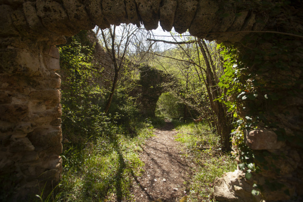
In addition to the fair, another important site of social life and exchange—for those who lived “up” or “down”—was the ancient Mill (Mola). Descending along the road of the Mill, steep mule tracks lead to the Farfa. The Millstones (Mole) are still visible, despite having been largely destroyed by a flood. Their antiquity is confirmed by the presence of a Roman bridge, which served the hydraulic channel that powered the mill.
In their dual function—as grain mill and oil press—the Millstones represent a comprehensive anthropological site, a synthesis of the two principal sources of subsistence that have sustained the agricultural cycle across much of central Italy for centuries.
Until the early 19th century, the Mill served the entire Mompeo territory, from the town to the riverside dwellings. It was at this stone structure that the community, usually divided between “up” and “down,” could meet and exchange information regarding the production and processing of crops (wheat and olives).
Testifying to the socio-economic centrality of this site—as well as the anthropological distance between the inhabited areas in and around Mompeo—is the fact that there existed one oil mill specifically for locals and another used only by “outsiders,” that is, those who lived outside the village proper.
Within the historical and anthropological vitality of this site lies one of the reasons why this structure—now unfortunately in a state of abandonment—remains a fundamental part of Mompeo’s memory. It is a liminal place, both geographically and due to the presence of a river that has, throughout history, carried with it stories and memories from every place and era: from ancient Romans to transhumant shepherds to all those who crossed its waters to reach nearby destinations (Castelnuovo di Farfa and Farfa) or more distant ones, like Rome.
For the reasons outlined above, it is reasonable to consider that a site like the Natural Monument of the Farfa Gorges constitutes a “great eco-anthropological container,” where the river that runs through it still carries a living narrative flow—one that time has not washed away.
This element has been included in the Register of Intangible Heritage of local interest of the Municipality of Mompeo, as part of Intervention 4 “Activation of the Observatory on the Intangible Cultural Heritage of the Territory through the application of the REIL methodology – Register of Intangible Heritage of Local Interest”, within the “ MOMAC – MOMPEO UN MODELLO DI ACCOGLIENZA” project, funded by the NRRP (National Recovery and Resilience Plan), Mission: Digitalisation, innovation, competitiveness, culture and tourism, Component: Tourism and culture 4.0, Investment 2.1 “Attractiveness of villages” CUP C79G22000000006.